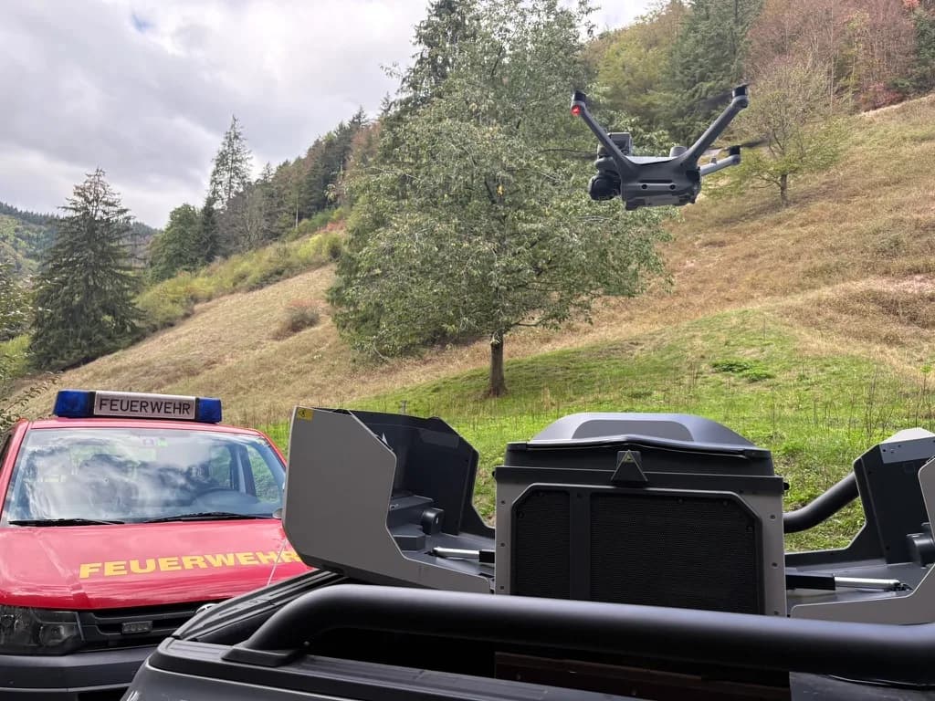

Kiel Fire Department
Schleswig-Holstein
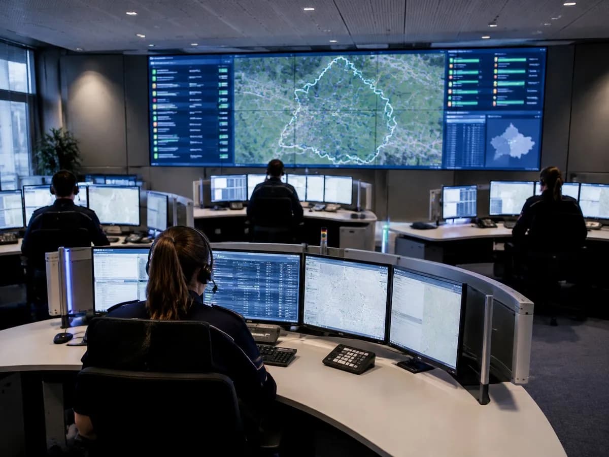
The dispatch centre flies the drone itself.
Reach measurement without cookies. Two things only with your consent.
We measure how often our pages are viewed on our own server, without cookies and with a shortened IP address. With your consent we also remember for 90 days which campaign brought you to us, and load external content such as maps. Without consent the site works fully. You can change your choice at any time via “Cookie settings” in the footer. Details in our privacy policy.

DCOS for public safety
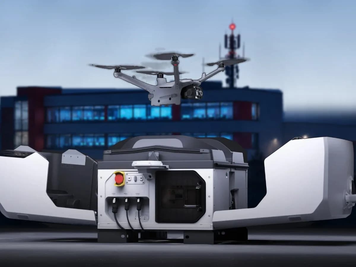
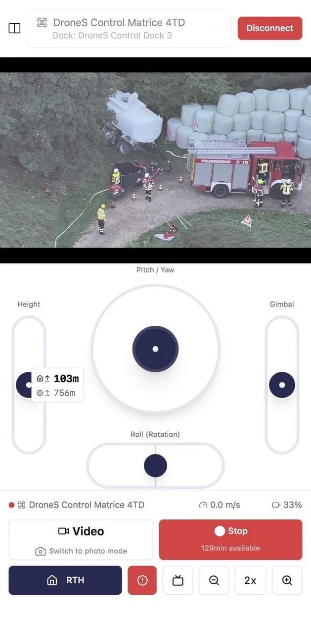
The drone launches from the dock or with your pilots on site. Live video and thermal imaging go straight to dispatch and incident command, so decisions rest on a real situation picture.
Interfaces
DCOS is the operating system for your drone operations, from flight control to the situation picture. For everything else we work with leading partners in alerting, dispatch technology and command support. Through open interfaces, the systems exchange data in both directions.
Incident data and address straight from the computer-aided dispatch system.
Alert pilots and crews through the system they already use.
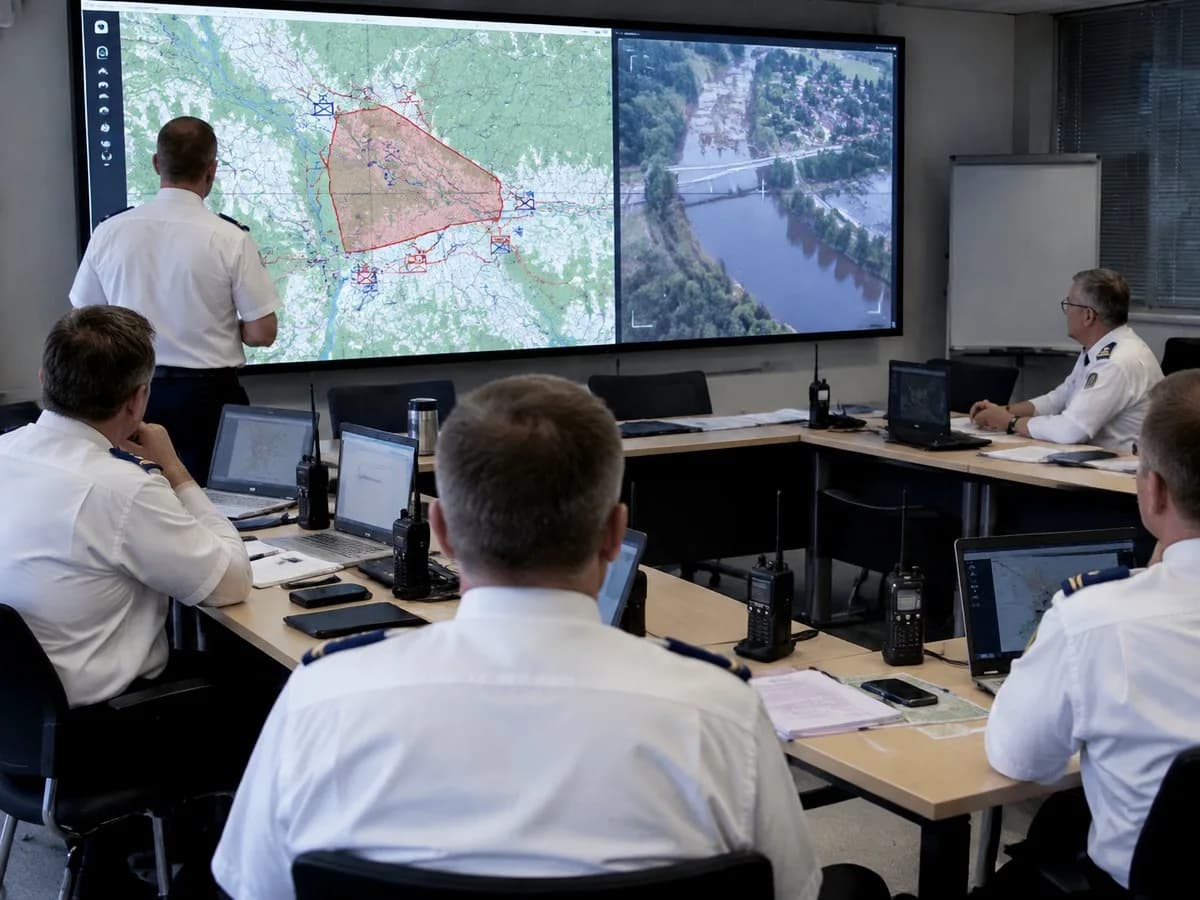
Images and tactical symbols flow into the digital situation map.
DCOS connects docks and drones from different manufacturers.
Data protection
Live video from an incident shows people affected, casualties and private property. DCOS is hosted in Germany, and you decide who sees live video and recordings.
Workflow
DCOS fits into your existing workflows. No extra system that someone has to operate on the side.
 KI-generiertAI-generated
The incident arrives in DCOS straight from dispatch or the alerting system.
 KI-generiertAI-generated
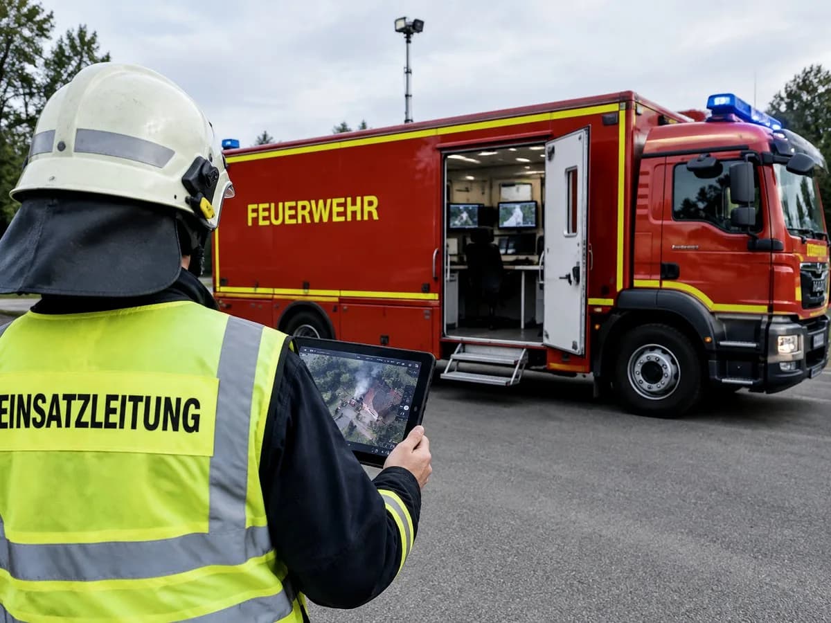
The drone launches from the dock or is launched by your pilots on site.
 KI-generiertAI-generated
Live video and thermal imaging reach dispatch and incident command immediately.
 KI-generiertAI-generated
Scenarios
DCOS speeds up situation assessment in critical incidents, improves responder safety and supports decisions from the earliest phase of an operation.
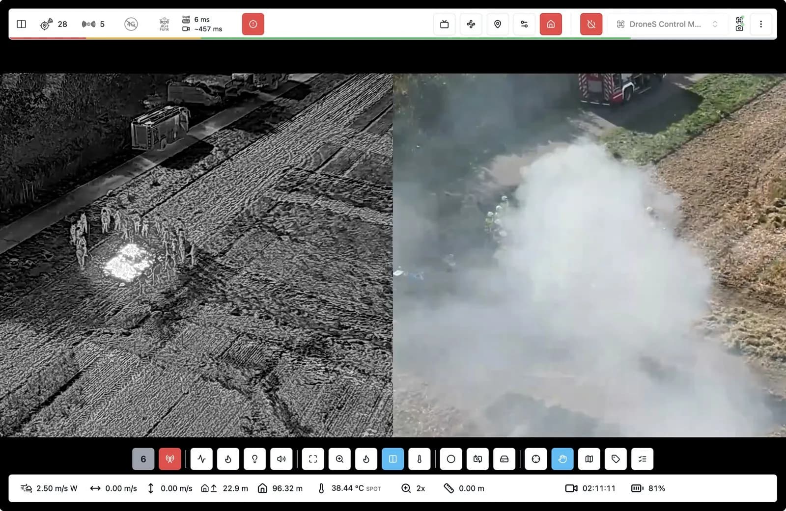
Spot people, fire spread and lines of attack early.
Survey large damage areas quickly.
Find hotspots and track the spread.
Find missing people with thermal imaging and narrow down search areas.
On scene
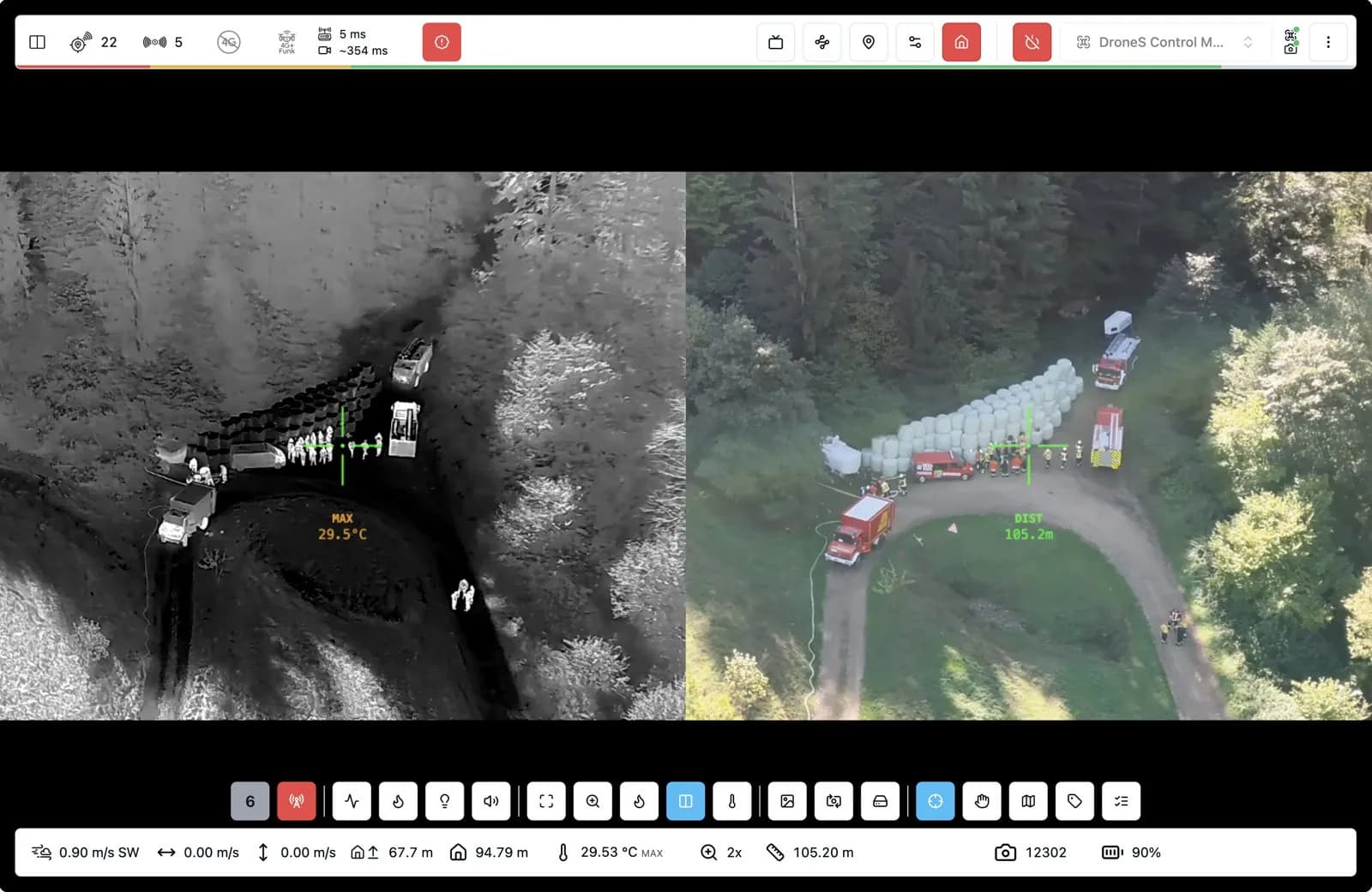
DCOS lets crews take over the drone on scene and use different sensors as needed for tactical decisions.
References
Schleswig-Holstein
The dispatch centre flies the drone itself.
Lower Saxony
The fire brigade's drone unit flies together with the Inselflieger.

Lower Saxony
Fly together with the drone unit of the Norden fire brigade.
Baden-Württemberg
The fire department's own drone pilots.

Austria
The mountain rescue team flies itself, with the mobile system.
Online demo
We show you DCOS live and talk about your requirements. An on-site demo is also possible by arrangement.
Pick a free slot straight from the calendar.
Detected objects appear as tactical symbols directly on the situation map.
Assess danger zones from a safe distance.
A first situation picture before the first crew goes in.